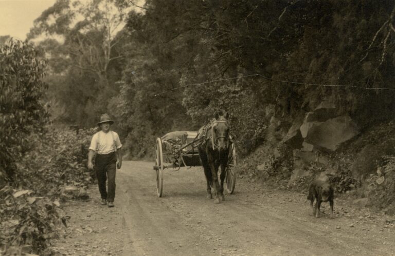
With the situation as it is with the road closures we have endured recently in and around Kangaroo Valley, let’s take a look at these roads in the 1800s.
In January 1865 a request by about 30 residents of Kangaroo Valley was made to put a road across a depression of the Cambewarra range, a little west of Good Dog Mountain, a pass connecting Good Dog with the Kangaroo Ground. This road would be the nearest outlet for the settlers of Kangaroo Valley. This had become necessary as the road in use by Broughton Creek was nearly impassable, even though a considerable sum had been spent on it. The proposed road, which would be steep, would allow anyone going to Nowra to travel half the current distance. By September 1866 Surveyor Arnheim had marked out a road from the Bomaderry Ferry to the School-house in Kangaroo Valley.
The road from the Shoalhaven to Goulburn, via Marulan, unfortunately was locked up by Mr William Blue, the occupier of the Caoura Estate, who chose to prevent traffic on the road through the estate which was a great drawback to the many selectors on the upper Shoalhaven and Kangaroo Valley. The road had been opened for 30 years and publicly used nearly the whole of that period. People were stopped and their bullocks, drays, horses, and property seized, under fire arms. Mr Blue was also reported having given the infamous bushrangers, Ben Hall’s Gang, a warm reception to the Caoura area.
The Caoura Estate is so situated between Marulan and the Shoalhaven district, in the Caoura Parrish, that owing to the impracticable nature of the country, no other road in this direction exists to the Argyle Tableland except through the Caoura Estate. Even Mr Garrett , in the Legislative Assembly in November, 1866, sought detail on the opening of the road from Shoalhaven to Marulan via the Caoura Estate. For farmers to take their large crops of maize from Upper Shoalhaven and Kangaroo Valley to the Goulburn market, they would need to go through the Caoura Estate, which was still blocked in April 1867.
By August 1867 residents of Kangaroo Valley wanted a road passable for horsemen to ride to the railway station at Sutton Forest. However, in the way of this was a mile or two of steep mountain. In December tenders were invited to make a road over the Cambewarra Range and then to the Sutton Forest Railway Station.
During Notices of Questions and Motions, and Orders of the Day in Parliament in October 1868, Mr Morrice moved “That an Address be presented to the Governor, praying that his Excellency will be pleased to cause to be placed upon the Estimates for 1869, a sum not exceeding £1000, towards the opening and formation of a road from the Sutton Forest Railway Station, through the Kangaroo Valley, to the Shoalhaven River via Good Dog Mountain.” The News, Shoalhaven and Southern Coast Districts Advertiser, 24 Oct, 1868.
The distance was said to be about 27 miles, and the only natural difficulties the traveller would have to encounter would be the two ranges, the one as he enters and the other as he leaves the Kangaroo Valley.
Finally, in April 1870, monies amounting to £1000 were passed by Government towards the opening and forming a road from Sutton Forrest Railway Station through to Kangaroo Valley via Good Dog Mountain, then to Shoalhaven. Another £150 was passed for the improvement of the road from the Kangaroo and Sutton Forest line of road to the Robertson and Sutton Forest Road at Bunter’s 200 acres.
Also at this time, a new post office was approved to be established at Kangaroo Valley. Mail delivery began in October 1870 from Moss Vale, Kangaroo Valley, Cambewarra and Nowra, via the Bomaderry Ferry, three times a week by Morgan Morgan on horseback for £140 per year.
For more information on the Caoura road through to Marulan, go to Historical Maps at hlrv.nswlrs.com.au website.
The full newspaper articles can be found on trove.nla.gov.au.
Christine Murphy